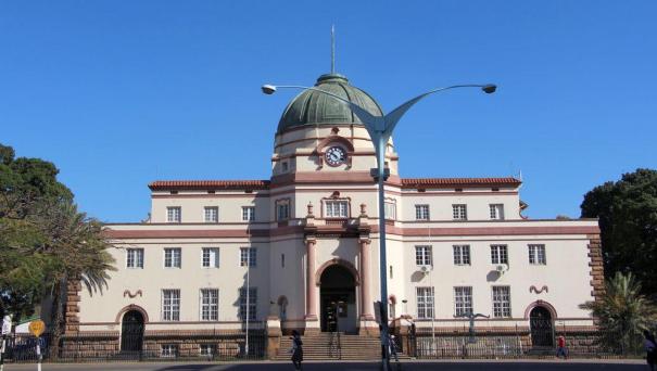
About Bulawayo
Bulawayo is the second-largest city in Zimbabwe after the capital Harare, with, as of the 2012 census, a population of 653,337.[2] It is located in Matabeleland, 439 km (273 mi) southwest of Harare, and is now treated as a separate provincial area from Matabeleland. The capital of Matabeleland North is now Lupane, as Bulawayo is a stand-alone province. The city sits on a plain that marks the Highveld of Zimbabwe and is close to the watershed between the Zambezi and Limpopo drainage basins. The land slopes gently downwards to the north and northwest. The southern side is hillier, and the land becomes more broken in the direction of the Matobo Hills to the south. Due to its relatively high altitude, the city has a subtropical climate despite lying within the tropics. The mean annual temperature is 19.16 °C (66.44 °F). The city's average annual rainfall is 594 mm (23 in), which supports a natural vegetation of open woodland, dominated by Combretum and Terminalia trees. Most rain falls in the December to February period, while June to August is usually rainless.
